
How to Find Snow Like a Pro
It’s all wildly confusing out there, but luckily Jeff did 20 years of homework so you don’t have to. Here it is in one simple flow chart.

Feel free to download / share this photo among friends to find the goods!
KNOWLEDGE TEST: SNOW
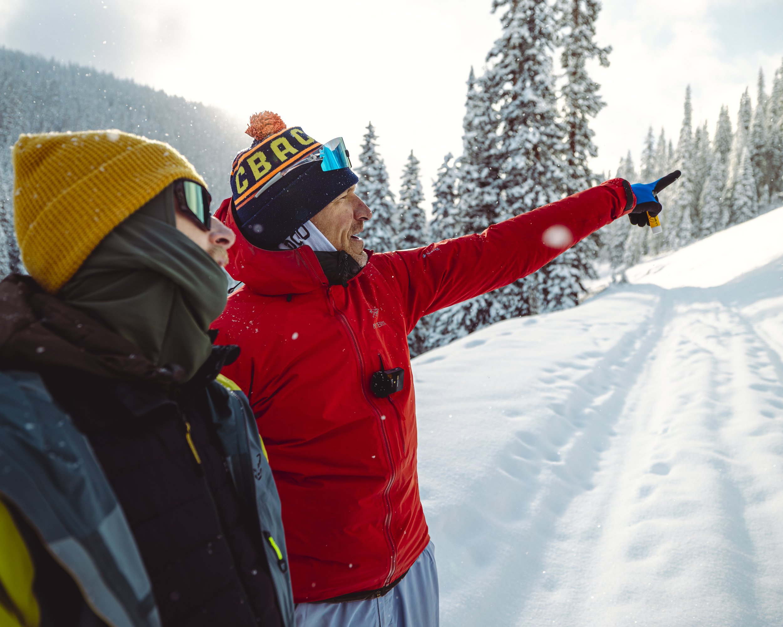
Jeff and Dave out here searching for snow like it’s a rare bird species.
Photo: Reilly Kaczmarek
1. What is orographic snowfall, and why do we like it as recreationalists?
Orographic snowfall happens when moist air is forced up and over terrain. As the air rises, it expands and cools, causing clouds and precipitation to form, most efficiently on the windward side where lift is strongest. By the time the air descends on the leeward side, much of the moisture has already fallen out, which is why mountains often get far more snow than nearby valleys.
Recreationalists love orographic snowfall because it can dramatically boost storm totals in mountain terrain, even during otherwise modest storms. When winds hit a range head-on (like westerly winds striking the Wasatch) they maximize this uplift and precipitation. The result: deeper, more consistent snow where we ski and ride.
Learn more here: https://avalanche.org/avalanche-encyclopedia/weather/orographic-snowfall/
2. What is snow sintering, and how does it affect avalanche stability?
Snow sintering is the process where individual snow grains bond together, strengthening both within a layer and between adjacent layers. This bonding is driven by mechanisms like grain rounding, vapor movement, and mechanical compaction. Under mild temperature conditions with low vapor pressure gradients, water vapor is deposited at contact points between grains, forming “necks” that you can see with a hand lens.
As sintering increases, weak layers gain strength, and overall snowpack stability improves. However, sintering slows dramatically in very cold temperatures, meaning weak layers persist longer. Stability tests help evaluate bonding in the upper snowpack, while deeper layers require closer observation of hardness, grain shape, and grain size to understand how well they’re strengthening.
Learn more here: https://avalanche.org/avalanche-encyclopedia/snowpack/snow-metamorphism/bonding-or-sintering/
3. What is wind loading?

From our backcountry-themed Spotify Wrapped post this week.
Wind loading occurs when wind transports snow from windward slopes and deposits it onto leeward features like ridgelines, gullies, and convexities. This process loads slopes much faster than snowfall alone—winds can deposit snow three to five times more efficiently than the atmosphere can naturally produce it. Because wind also breaks flakes into smaller, denser grains, the deposited slabs tend to be cohesive and reactive.
Fresh drifts, blowing snow, and new cornices are clear signs of active or recent wind loading. When these appear, avalanche hazard typically increases quickly on leeward slopes, even if storm totals seem modest.
Learn more here: https://avalanche.org/avalanche-encyclopedia/snowpack/snowpack-observations/signs-of-instability-red-flags/wind-loading/
4. How do you find snow for recreation, and is your methodology working?
Start by reflecting on your current approach to finding good snow. Do you rely on weather models? Remote observations? Word of mouth? Terrain intuition? Or a mix of all the above? Most importantly: is your process consistently leading you to quality snow, or do you often arrive to find conditions that don’t match your expectations?
If your system feels hit-or-miss—or you routinely miss the best snow in your area—the AspectAvy Flow Chart in this week’s blog can help refine your approach. It’s a structured way to think through weather, terrain, and recent snowpack factors so you can more reliably choose where to go and what to ski.